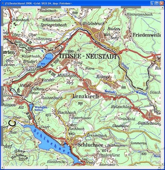
This software includes the official Topo map of Germany in a 1 : 200.000 scale and an Overview map at 1 : 500.000. The DVD also contains SRTM3 elevation data for Germany (raster resolution 85 m / 3"). The map comes in TTQV *.qbr format and requires TTQV 4.0.122 or higher.
Comments